Mt Arvon
Mountain peak · L'Anse ·
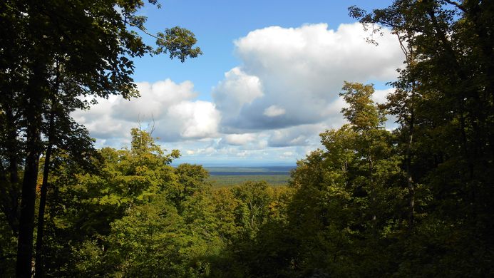
Highest point in MI, scenic drive, views of Lake Superior


Information
L'Anse Township, MI 49962 Get directions
Highest point in MI, scenic drive, views of Lake Superior
L'Anse Township, MI 49962 Get directions
"In a maze of logging roads in the Upper Peninsula of Michigan stands Mount Arvon, the state’s highest point at 1,979 feet above sea level. However, until recently, another peak nearby was thought to have that title. The Huron Mountains are well-eroded peaks from the Precambrian period, and their tops have been worn smooth. A neighboring peak of Mount Arvon, Mount Curwood was listed as the highest point in the state until a 1982 survey found that Arvon was a mere 11 inches higher. Some maps to this day may list Curwood as the state’s pinnacle. Reaching the scenic peak is thankfully not too challenging. Due to logging activity, the roads may change on the approach, but signs have been posted along the route from Ravine River Road onward. If some upstanding member of the community has taken them down, a copy of the latest directions can be received from the Baraga County Tourism office in L’Anse. The roads are only suitable for a two-wheel-drive passenger car if the roads are dry. Otherwise, a four-wheel-drive vehicle will be necessary. From the parking lot, it’s a short hike to the summit glade, where some trees have been cut to allow a view of Lake Superior." - ATLAS_OBSCURA